
Applications · SAT SOLUCIONES
Transport
Useful information before users reach the affected section.
A transport route connects locations with different risks: gullies, bridges, tunnels and terminals. SAT Soluciones organizes information by road section so the control center can communicate restrictions to operators and users, based on confirmed route conditions and the concession operator's procedures.
Request information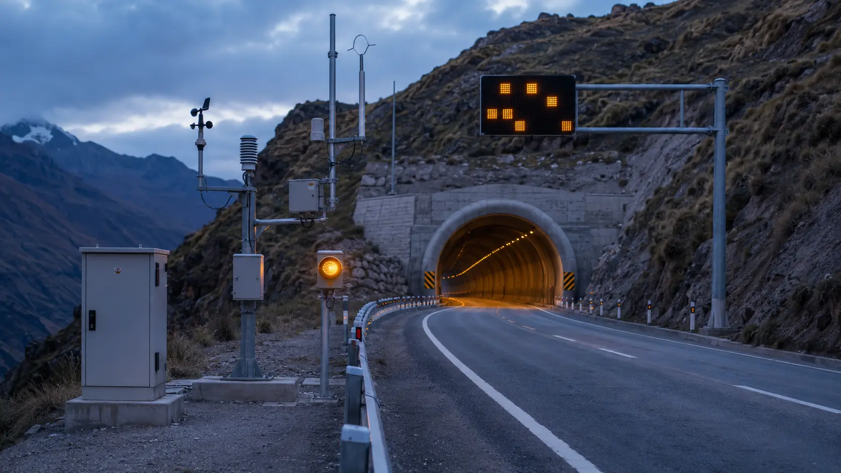
Sector priorities
Where an incident occurs determines the response
A general warning does not explain where to wait or which approach to avoid. We associate each event with the affected section, its approaches and safe locations designated by the operator. Field reports help distinguish a precautionary notice from a confirmed restriction.
Application scenario
Illustrative scenario: debris flow on a road
- Situation
- The control center receives a validated report of debris on the carriageway at an identified section.
- Coordinated response
- The operator records the restriction and sends instructions to affected approaches and terminals through integrated channels.
- Follow-up
- Responsible teams share the incident location and status until an update to the notice is authorized.
Illustrative scenario · Configuration depends on the project
Project design
Design around the actual route
- Map of sections, approaches and safe locations.
- Named roles for validating incidents and authorizing messages.
- Power and communications availability at each location.
Applied solutions
Territorial monitoring
Associate reports and devices with road markers, approaches and route sections.
Learn moreResilient communications
Evaluate alternative links for locations distant from the control center.
Learn moreIntelligent dissemination
Target notices to the approaches and terminals that need to respond.
Learn more
Define the scope for your operation
We can assess a corridor, terminal or concession to identify where information needs to become a specific instruction.
View all applications