
SAT SOLUCIONES
Tsunami warning
Connect maritime warnings with each coastal zone.
SAT Soluciones designs and integrates warning systems for coastal facilities and communities. The solution connects authorized maritime information, operational decisions, and warning equipment to support evacuation procedures established by the relevant authorities and the teams responsible for each location.
Request information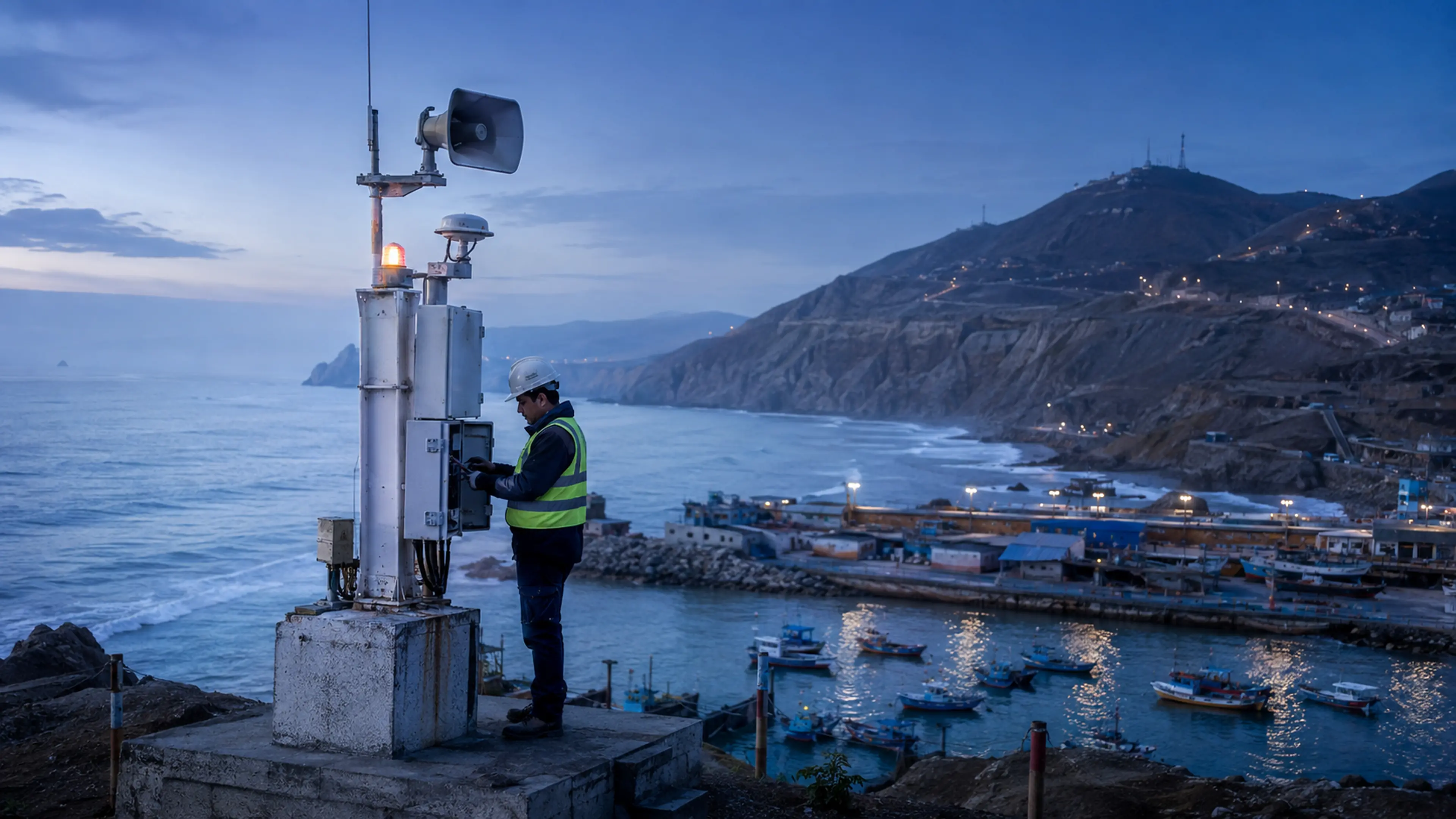
The solution
One coastline, different spaces and needs
Ports, workplaces, beaches, and urban areas need warnings distributed according to their exposure and organization. Each project identifies sectors, warning points, and activation responsibilities. Configuration follows information from the competent authority and approved local plans, rather than independently interpreting an earthquake as a tsunami threat. The resulting design connects the official information pathway with the practical requirements of the site.
Integration scopeTsunami notices depend on maritime sources and competent authorities. SAT provides technical integration; it does not issue forecasts or replace those authorities' decisions.
How it works
From maritime advisories to coastal sectors
Define reception
We establish the authorized maritime source and the procedure for receiving its notices, including operator involvement where required by the agreed project design.
Organize the coastline
We configure zones and warning points on the map, linking them to the sectors and evacuation procedures defined by the teams responsible for the area.
Disseminate and record
We integrate communications and audible and visual signals according to the project. Activations are logged to support operational reviews and planned exercises.
Technology
A warning network organized around coastal zones
Information from the maritime authority is linked to the sectors covered by the local plan. Notification points are selected around exposure, power access and communication conditions.
- Authority advisory
- Reception through the interface or operational procedure authorized for the project.
- Evacuation sectors
- Notification points assigned to beaches, port areas or urban zones defined by the responsible teams.
- Coastal communication
- Messages prepared for each scenario and activation following decisions by the competent authority.
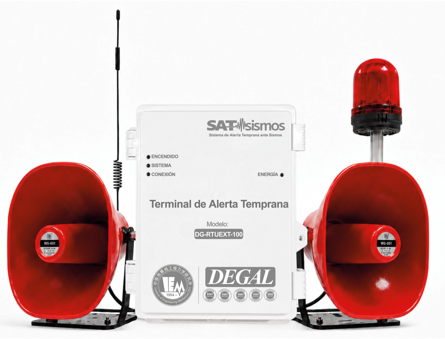
Equipment that can support the solution
Final selection and configuration are defined through engineering. See the catalog for each model's characteristics.
Applications
What it brings to operations
- Warning dissemination organized by coastal sector.
- Defined responsibilities for reception and activation.
- Equipment and records that support the local plan.
Where it applies
Let's discuss your project
Share the coastal sectors, evacuation plan and available warning channels so we can study their integration.