SAT SOLUCIONES
Flood warning
From water monitoring to area-specific warnings.
SAT Soluciones integrates sensors and authorized sources to support monitoring in flood-exposed areas. We design the connection between measurements, approved thresholds, and warning points, with settings adapted to the watercourse, facility, or area that requires attention and to the project's operational scope.
Request information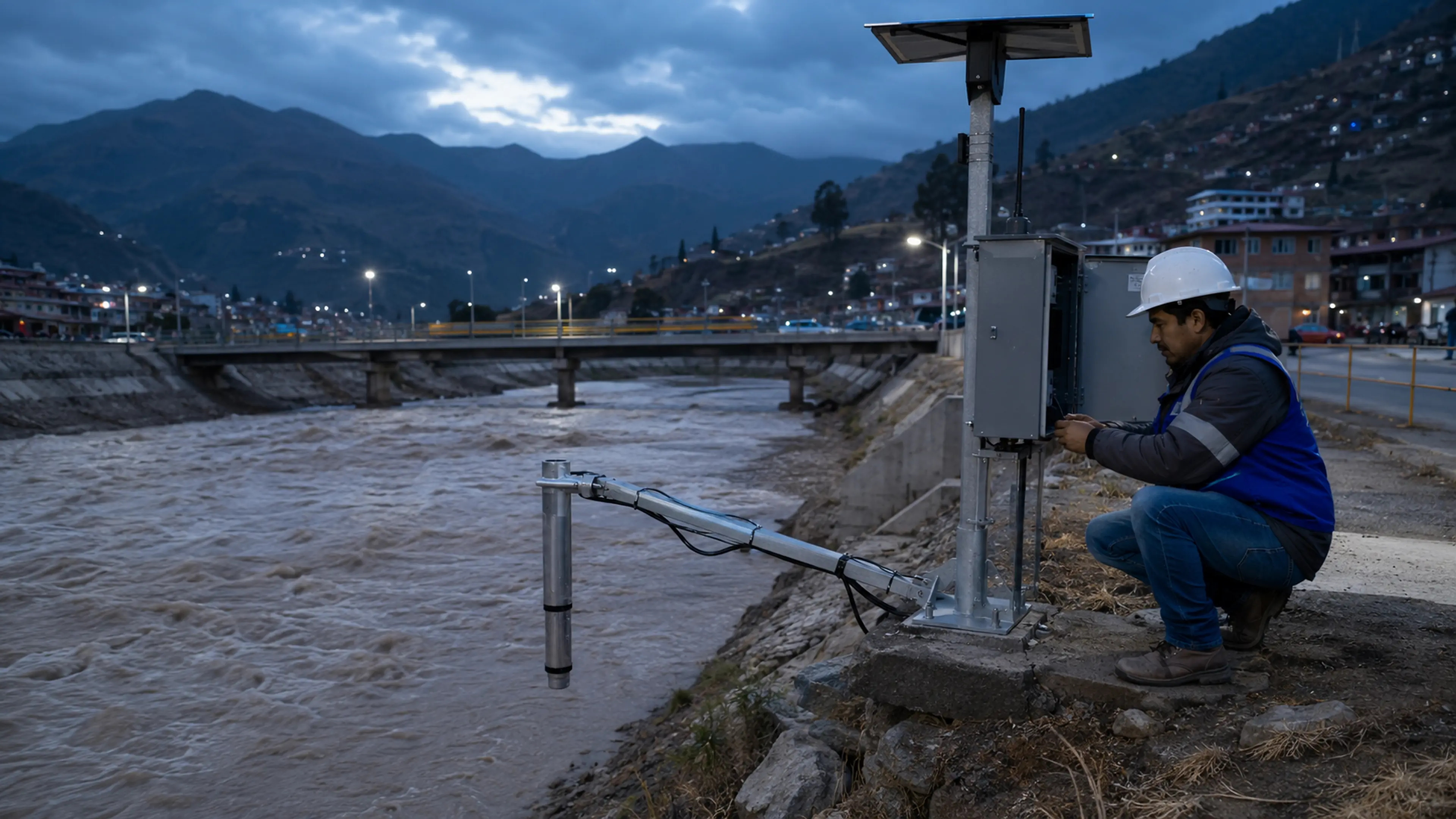
The solution
Monitor the right point and notify the relevant area
A sensor reading needs context: its location, the condition observed, and the criterion for action. Each project therefore defines which variables to include, who approves the thresholds, and which zones relate to each condition. This structure allows monitoring and warning dissemination to form part of the same operating procedure, with responsibilities clearly assigned to the team in charge.
Integration scopeSensors, thresholds, and zones are defined for each site. Their selection requires technical assessment and approval by the people responsible for the project.
How it works
From water measurements to targeted warnings
Define monitoring
We review measurement locations and available signals, such as water level or rainfall, according to the assessment and scope agreed for the specific project.
Link thresholds and zones
We configure approved criteria and their associated sectors. The procedure establishes when an operator is involved and how each warning stage is authorized.
Activate dissemination
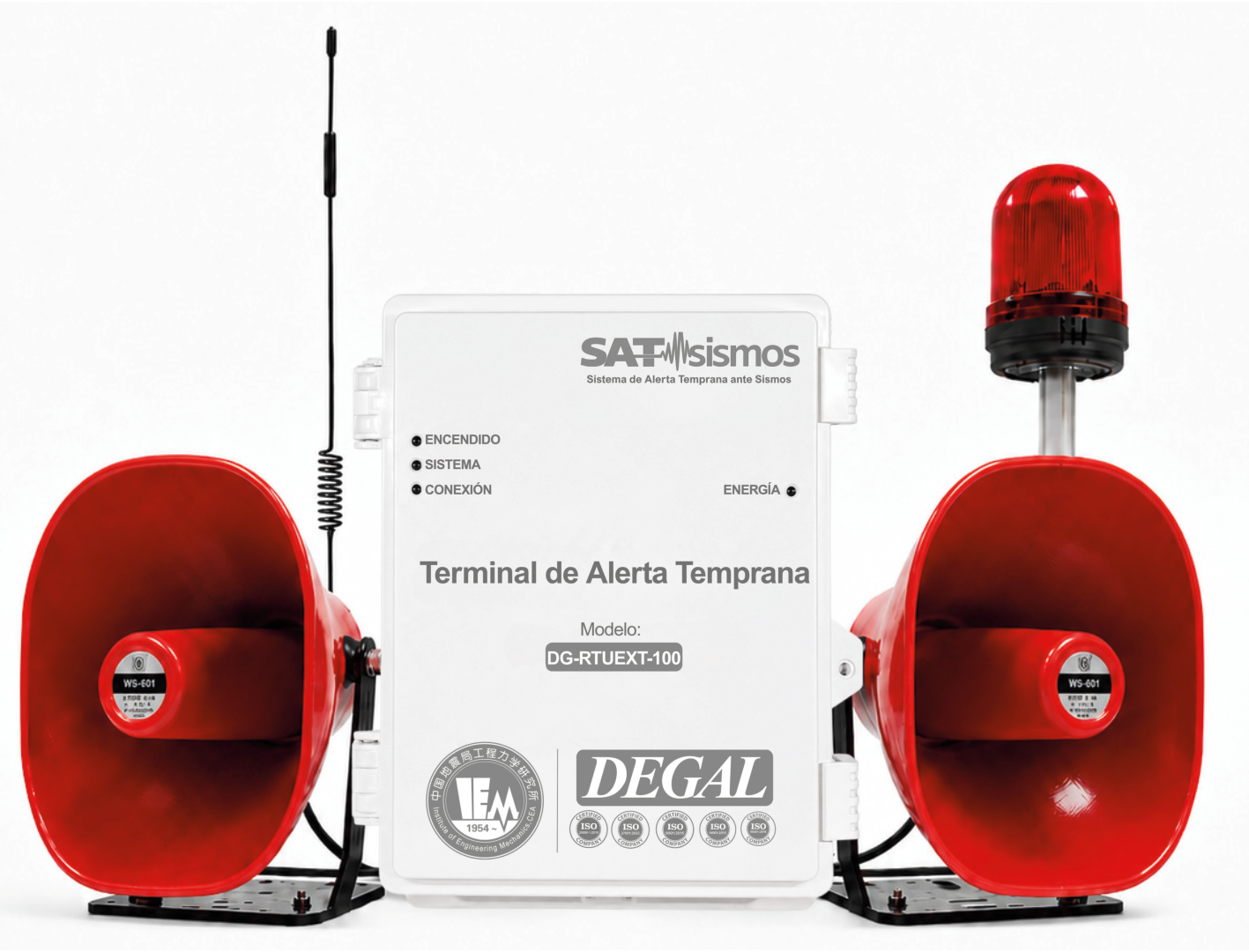
We integrate the specified communications and audible and visual warning devices. Events and activations are recorded to support reviews and authorized configuration changes.
Technology
Sensors, thresholds and notification points
The design connects available measurements with the river section or facility they represent. Thresholds and warning stages are configured using criteria approved for that location.
- Located measurements
- Water-level or rainfall inputs integrated according to the sensors and sources selected for the study.
- Readings in context
- Location, timestamp and available measurement status allow the operator to review incoming information.
- Condition-based notification
- Each threshold is associated with responsible staff, sectors and a defined authorization procedure.
Equipment that can support the solution
Final selection and configuration are defined through engineering. See the catalog for each model's characteristics.
Applications
What it brings to operations
- Measurements linked to a location and responsible team.
- Documented warning criteria for each sector.
- Traceable records for reviewing events and settings.
Where it applies
Let's discuss your project
Tell us about the watercourse or facility, existing measurement points and sectors that need warnings.