SAT SOLUCIONES
Territorial monitoring
A shared view of the territory for informed operational decisions.
SAT Soluciones brings mapping information, events and equipment status into a common operational view. Teams can relate a hazard to the areas, facilities and resources that need attention. Each project organizes available sources around the customer's operation, from a municipal control center to distributed mining, energy or transport assets.
Request information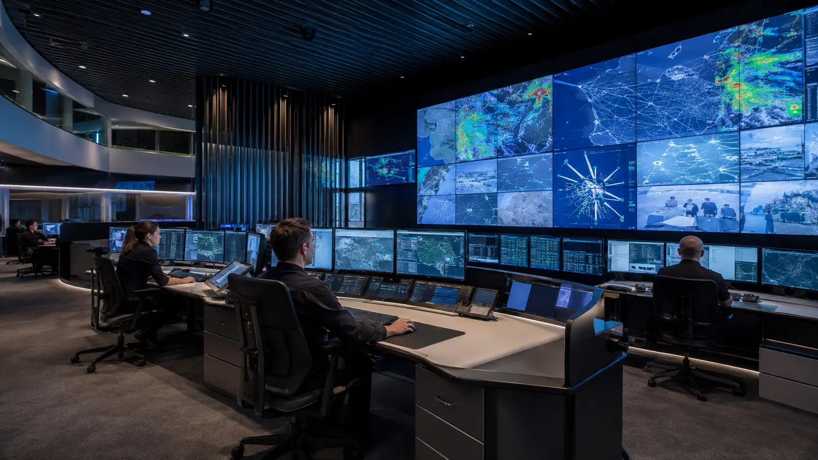
The solution
Understand what is happening and where
Scattered information makes it harder to identify exposed facilities or equipment needing inspection. A consistent territorial view gives teams common references for coordination, information checks and response priorities, while keeping the origin and availability of data in context.
Integration scopeMap layers, sources and update frequencies depend on authorized information, connectivity and the integrations agreed for the project.
How it works
Locate, relate and track events
Organize the information
We define map layers, relevant assets and authorized sources. Data location, ownership, availability and update conditions are reviewed with the customer's operational team.
Connect events with their location
The platform displays received events alongside integrated areas and equipment, allowing operators to review the surrounding context and available status information.
Support ongoing follow-up
Teams consult recorded developments, identify outstanding tasks and coordinate the actions established in their procedures using a shared territorial reference.
Technology
Territorial layers with operational context
A useful map needs data with consistent locations and meanings. The project organizes layers, identifiers and update criteria to support operator review.
- Territorial base
- Facility locations, areas of interest and boundaries defined by the client or authorized sources.
- Events and states
- Incoming information linked to assets and zones while retaining available timestamps and source details.
- Operational review
- Agreed views to distinguish events, review equipment and recognize information that needs updating.
Applications
What it brings to operations
- Assets and events in a common context
- Visible priorities for the team
- Organized information for follow-up
Where it applies
Let's discuss your project
Share the geographic layers, assets and sources you need to consult in a single operational view.