
SAT SOLUCIONES
Debris-flow warning
Monitoring and warnings shaped around each ravine.
SAT Soluciones integrates warning systems for areas exposed to huaicos, local debris flows. The design links monitoring points, approved activation conditions, and warning zones, taking account of the territory and procedures agreed with those responsible for the project.
Request information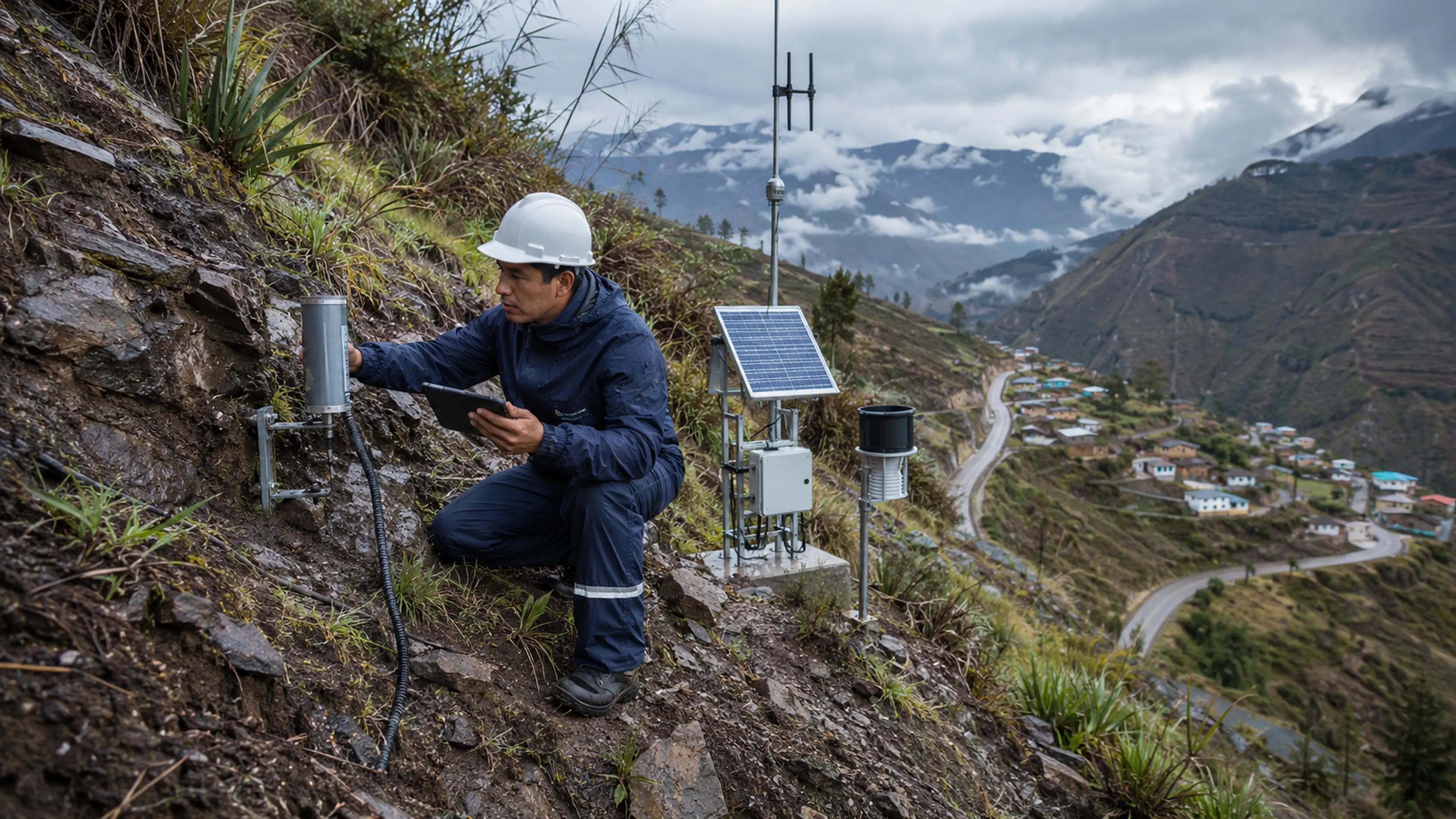
The solution
A solution that starts with the terrain
A ravine, an access road, and a nearby settlement present different needs. Sensor and equipment locations must follow a site assessment. The project must also establish how signals will be interpreted and how each sector will be notified. SAT develops the technical integration around those decisions, connecting the selected field components to the operating platform and the agreed response procedure.
Integration scopeEach project requires a site assessment and approved activation criteria. The system supports warning dissemination; it does not independently determine ground stability.
How it works
From the ravine to the notification points
Identify critical locations
With the project team, we identify the monitoring and warning points included in its assessment, alongside the conditions required for installation and communications.
Configure the sequence
We connect selected sensor signals with approved thresholds, responsibilities, and zones. Each condition is linked to the activation procedure specified for that zone.
Verify in the field
We install and integrate the specified equipment, then check the warning chain. Records support reviews of tests, activations, and ongoing technical support needs.
Technology
Monitoring and communication in complex terrain
Observation and warning points follow the assessment of each ravine. The design reviews terrain, maintenance access and available links between field locations and responsible teams.
- Observation points
- Interfaces for sensors selected by the site study, with each function documented by location.
- Field link
- Engineering checks communication and power conditions at each proposed point.
- Warning sequence
- Signals are linked to approved criteria and intended recipients downstream or along exposed roads.
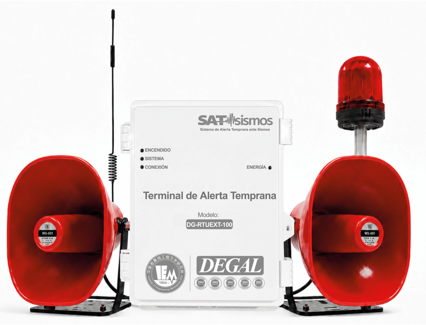
Equipment that can support the solution
Final selection and configuration are defined through engineering. See the catalog for each model's characteristics.
Applications
What it brings to operations
- Design linked to the ravine and its exposed sectors.
- Sensors and warnings organized within a defined sequence.
- Tests and records that support continued operation.
Where it applies
Let's discuss your project
Share the ravine location, exposed sectors and available studies so we can define the warning chain.